
Please note: All snow total predictions are sourced from OpenSnow.com and reflect the 5 day snow total predictions for this week.
Colorado, New Mexico and Utah
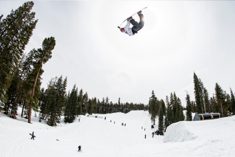
Snow will persist in northern Colorado Wednesday through Friday. The San Juans won’t be as lucky. Winter Park, Loveland, Breckenridge, Copper and the other usual suspects can expect 7 to 17 inches of fresh through Friday.
New Mexico and Utah won’t be as fortunate as the Centennial State.
Idaho, Montana, Wyoming
It’ll be a quiet week in Idaho up until about Sunday evening when 3 to 7 inches of snow is forecasted for Brundage and 2 to 4 inches for Tamarack.
Thursday should be quite an enjoyable pow day for Montana. Snow will move in on Wednesday with 6 to 16 inches predicted for Montana Snowbowl.
The same storm hitting Montana will also move into Wyoming on Wednesday evening. Use one of those vacation days to shred pow on Thursday, eh? From Wednesday through Thursday evening 5 to 13 inches is forecasted for Jackson Hole and Grand Targhee.
California
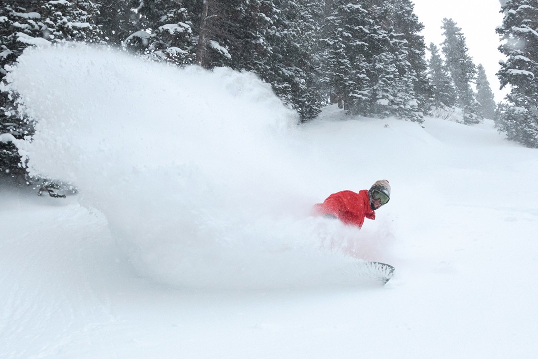
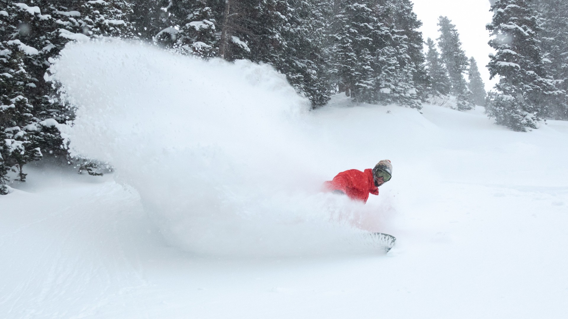
The Sierra Nevada has had significant snowfall totals over the past two weeks. It’ll be quiet for the next few days, however, a storm is set to deposit snow on Sunday evening. Three to 6 inches is expected for Kirkwood, Sierra-at-Tahoe, Squaw Valley Alpine Meadows and Sugarbowl. Snow levels will be very high on Sunday and Sunday evening, dropping by Monday. Stick to the upper mountain (if open) to get the best snow.
Oregon and Washington
It’ll be mild in the Pacific Northwest for the most part this week. Then, on Sunday, a front will move into the area. Snow levels will be at about 5,000 feet, meaning rain down low. At high enough elevations at Mount Hood Meadows, Timberline and Mt. Bachelor, there could be about 3 to 6 inches of accumulation. In Washington, snow levels will be similar, with Mt. Baker, Stevens Pass and Crystal Mountain all expecting about 2 to 4 inches of new snow up high.
A video posted by Mt. Hood Meadows (@mthoodmeadows) on
Alberta and British Columbia
It’ll be pretty quiet for western Canada this week. Whistler Blackcomb is looking at 3 to 7 inches at the highest elevations on Sunday night, however.
New England
It’s no secret that New England and the entire East Coast has had a piss (rain) poor season. Mad River Glen is closed for the season. Bolton Valley just announced it would be closing this Sunday. It’s tough out there, folks. After significant rain events have plagued the region this week, things are looking up for the weekend with a low pressure cold front moving in.
In Vermont, Killington, Mount Snow and Okemo are all expecting 2 to 4 inches of accumulation. To the northeast, in Maine, Sunday River and Sugarloaf could see 1 to 2 inches. On Saturday evening, Cannon Mountain and other ski areas in that region of New Hampshire are expecting 1 to 2 inches of new snowfall.