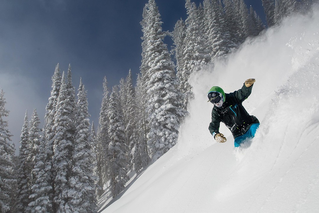
The date may indicate that spring has arrived, but Mother Nature didn’t seem to get the memo. Heavy snowfall is projected for Rocky Mountain states this week, continuing the trend of what has been a fantastic March for much of the West. Heck, even the East Coast is holding on to the last hints of winter with snow in the forecast later this week. Enjoy the turns, wherever you happen to be, because the season will be over before we know it.
Please note: All snow total predictions are sourced from OpenSnow.com and reflect the 5 day snow total predictions for this week.
Colorado, Utah and New Mexico
It’s shaping up to be a damn good week for riders in Utah. Two storms will hit the state, with the strongest coming on Tuesday. By Wednesday morning, a fresh 11-19 inches are expected for Snowbird with a bit less forecasted for Solitude and Brighton. Then, another storm will hit on Thursday evening with 2 to 4 inches expected for most resorts by Friday night.
March has been good to the Centennial State in 2016. Winter Park, for example, has reported 66 inches of snow so far in March. The upcoming forecast for Colorado says snow … all week. The heaviest snowfall will take place Tuesday night into Wednesday and Friday night into Saturday. From Tuesday through Saturday afternoon the northern riding areas (Steamboat, Beaver Creek, Vail, Ski Cooper, Copper, Breckenridge, Keystone, Loveland, Arapahoe Basin and Winter Park) are looking at totals in the 16 to 38-inch range. Hello, spring!
A weaker storm will move into New Mexico towards the end of the week, with projected snow totals for Taos sitting at 3 to 7 inches on Saturday.
Idaho, Montana and Wyoming
Tuesday will feature heavy snow for central and southern Wyoming. Hogadon is forecasted to have a fresh 11 to 19 inches on Wednesday morning, while Snowy Range is looking at 7 to 15 inches by Wednesday afternoon. The big boys in the northeast section of the state—Jackson Hole and Grand Targhee—are looking at 5 to 9 inches in that timeframe, with another 5 to 11 projected for Wednesday through Friday.
See also: Did you know? 13 ways to score big with the Mountain Collective pass
Silver Mountain and Lookout Pass, located in the Idaho panhandle, are forecasted to have the best week in the Gem State. Five to 9 inches is predicted for those two areas on Tuesday, with an additional 4 to 9 inches forecasted for Wednesday and Thursday.
Snow is set to hit Montana on Tuesday, with 3 to 7 inches expected at Big Sky and 2 to 4 inches for Bridger Bowl. Another 2 to 5 can be expected on Wednesday through Thursday morning.
Oregon and Washington
Snow levels will be around 3,500 feet on Tuesday, with 2 to 4 inches expected at higher elevations at Stevens Pass and Alpental. Freezing elevation will rise to 4,500 feet on Wednesday with 5 to 10 inches expected at Mt. Baker (summit elevation of 5,089 feet) and 3 to 5 inches forecasted for Stevens Pass (summit elevation of 5,845 feet). On Thursday, snow levels will rise again to 5,500 feet with 9 to 15 inches expected for the peak of Stevens Pass.
Snow levels in Oregon will mirror that of Washington, with the highest elevations of Mount Bachelor set to receive 1 to 3 inches of snow on Tuesday and 2 to 5 inches Wednesday through Thursday. Mount Hood Meadows is also expecting 2 to 5 inches on Wednesday evening at the summit elevations.
Alberta and British Columbia
Light accumulation is expected for Alberta this week. Two to 4 inches is forecasted for Marmot Basin from Tuesday through Thursday.
High elevation snow is predicted for Whistler Blackcomb this week, in the range of 4 to 10 inches on Wednesday. Further inland, Revelstoke and Whitewater can expect 2 to 4 inches up high on Wednesday.
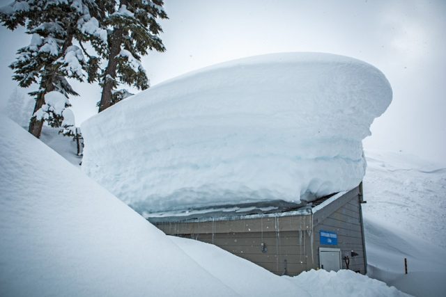 Whistler Blackcomb officially surpassed its average annual snowfall total this week, allowing the resort to push closing day to May 30, 2016. With 463 inches of snow so far this season, conditions are damn fine in BC. Photo courtesy of Whistler Blackcomb
New England and the Adirondacks
It’ll be a wintry mix kind of week for Vermont, New Hampshire, Maine and New York. The high elevation resorts in northern Vermont (Jay Peak, Stowe) are looking at 3 to 7 inches from Wednesday through Thursday, while Sugarloaf, in Maine, is expecting 4 to 7 inches on Thursday. Many areas on the East Coast are shutting down soon, so make the best of the last few days of the season.
California
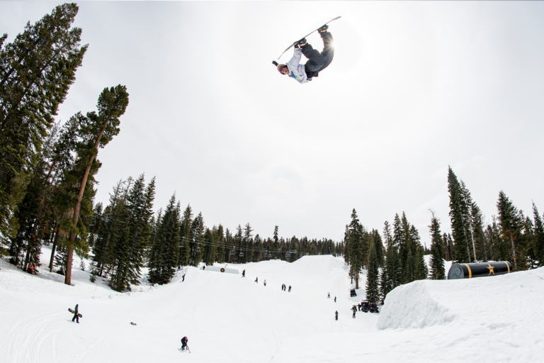
Break out the sunscreen, Californians, because it’ll be a bluebird, sunny week on the West Coast.
Editor’s Note: As the season pushes into its latter stages and areas begin to close, the spring migration into the backcountry will begin. For those looking to score turns in the wilderness this spring, make sure to keep up to date with the latest avalanche forecasts and information via the sites listed below:
Colorado Avalanche Information Center
Sierra Avalanche Center
Central Oregon Avalanche Association
Northwest Avalanche Center
Gallatin National Forest Avalanche Center
Bridger Teton Avalanche Center
Idaho Panhandle Avalanche Center
Sawtooth Avalanche Center
Utah Avalanche Center
Northern New Mexico Avalanche Center
Mount Washington Avalanche Center
Alaska Avalanche Information Center
Avalanche Canada
