
It’s been warm and sunny in western North America for the majority of February. That trend will continue for the most part this week, but the pattern is set to change as we move further into March. I hesitate to say “Monster March,” but one can hope. Here’s where the snow will fall this week.
Please note: All snow total predictions are sourced from OpenSnow.com and reflect the 5 day snow total predictions for this week.
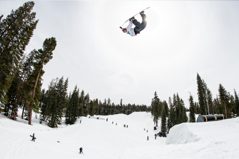
Featured image courtesy of Snowbird Utah.
Oregon and Washington
The Pacific Northwest woke up to a bunch of snow on Tuesday, but freezing levels are rising to about 5,000 feet, meaning lower slopes will receive some rain while the snow will fall way up high. There will be precipitation throughout the week in Washington. Mt. Baker is forecasted to receive 25 to 51 inches of snow through Saturday. Pray that freezing levels will fall, people.
In Oregon, Mt. Bachelor is expecting 5 to 15 inches from Wednesday through Saturday.
British Columbia and Alberta
Freezing levels will be high (5,000 feet) in British Columbia, but Whistler Blackcomb is looking at some hefty precipitation, with 37 to 67 inches expected in the alpine.
Sunshine Village, Lake Louise and Norquay are all looking at 1 to 3 inches of snow on Tuesday evening.
California
Winter is set to return to Tahoe later this week. Beginning on Friday evening a storm will move into the area and is forecasted to deposit 35 to 42 inches of snow at Kirkwood, Squaw Valley Alpine Meadows, Sugar Bowl, Sierra-at-Tahoe, etc. by Sunday evening. In the Eastern Sierra, Mammoth is looking at 15 to 29 inches of new snow in the same timespan.
Idaho, Montana and Wyoming
It’ll be a nice week for the state of Wyoming. From Tuesday through Wednesday evening, Jackson Hole is looking at 3 to 7 inches of new snow. On Thursday, Jackson is looking at 2 to 4 more, with another 2 to 4 expected on Sunday.
There’s a chance for a dusting early in the week in Montana, with Big Sky forecasted to receive 2 to 5 inches of snow on Sunday.
Idaho’s Lookout Pass is expecting 2 to 4 inches from Tuesday through Wednesday, with another 1 to 2 expected on Friday night.
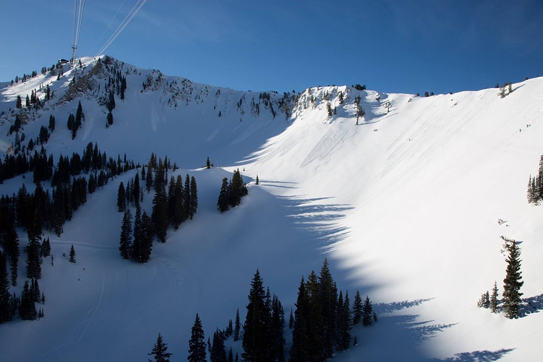
Colorado, New Mexico and Utah
The majority of Colorado, with the exception of some of the central mountains, can expect 1 to 2 inches of new snow on Wednesday. This includes ski areas like Winter Park, Loveland, Breckenridge, Vail, etc. The next storm will drop 1 to 3 inches on the central and southern mountains—Aspen Snowmass, Crested Butte, Telluride—on Sunday.
Sunday will be a storm day for Utah. Alta, Snowbird, Brighton, Solitude, Powder Mountain and the Park City resorts are looking at 5 to 9 inches of white goodness.
Unfortunately, New Mexico will be pretty dry this week.
New England
Wednesday should be a wintry day for Vermont, with 3 to 7 inches expected by midday for Jay Peak, Stowe and Bolton Valley.
Cranmore, Attitash, Bretton Woods, Loon Mountain and similarly located areas in New Hampshire are looking at 3 to 5 inches by Wednesday morning.
By Wednesday afternoon, Sugarloaf and Sunday River in Maine should have a fresh 4 to 7 inches of snow.