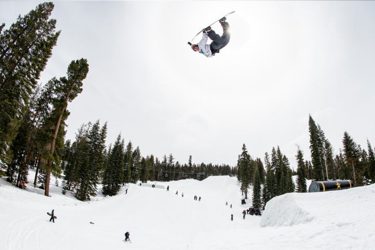

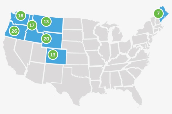
Snowboard season in North America is in full swing, and ski resorts are opening up left and right. With stoke for the winter coursing through our veins, it’s time to ramp up Snowboard Mag’s weekly powder alert, letting you know where and when the snow is set to fall over the course of the next week. Tune in every Wednesday morning throughout the season for updates.
The majority of the United States and Canada will be looking at snowfall chances over the next week. Some regions have a better shot than others, and the big winners are forecasted to be mostly in the western United States and Canada.
Oregon and Washington
After a blatant lack of snowfall plagued Oregon last season, the Beaver State is off to a good start in 2015-16. The majority of the state sits above 90-percent of normal in terms of current snow water equivalent.
A powerful storm is set to collide with the Cascade Range on Tuesday night, with projected totals topping out at nine inches overnight. The storm is forecasted to continue through Thursday night, with 26 inches possible by the time it’s all said and done. Mount Hood Meadows is scheduled to open on November 21, and Mt. Bachelor on November 25, and this storm is sure to help set up an early season base. 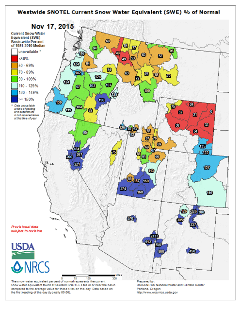
While its neighbor to the south is enjoying a boost in Snow Water Equivalent (SWE), Washington has been struggling. Luckily, it’s about to get a bit of help from ol’ Mother Nature. Snow will move into Washington on Tuesday night, with areas like Stevens Pass and 49 Degrees North expected to receive between three and eight inches of snow. From there, another storm is expected to deposit more of the white stuff on Friday night. Mt. Baker Ski Area will open on November 19, and should have solid opening weekend conditions. The best chance for more significant snowfall will come towards the end of next week.
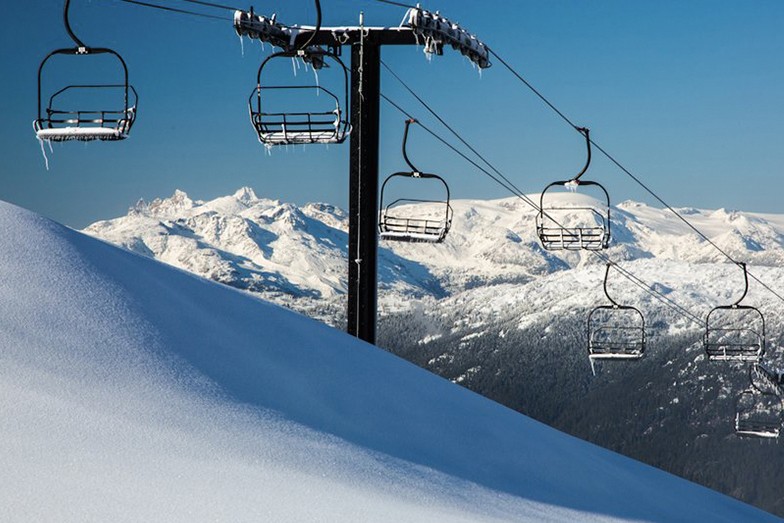
British Columbia and Alberta
British Columbia, specifically resorts along the Powder Highway like Fernie, Revelstoke, Kimberley and Kicking Horse will get slammed with up to a foot of snow from Tuesday night into Wednesday. The majority of the province, including more coastal resorts like Whistler Blackcomb, will see some more bursts of snow beginning next Tuesday. In Alberta, Tuesday night will be ultra-beneficial, with up to 16 inches of snow projected for the Banff area. Luckily, all three resorts in that region are open for business. Snow will then return beginning next Tuesday.
As pristine as this looks, we can’t wait to slash some turns into it! 42cms fell over the weekend and opening day is closer than ever. | #WBturns50 #WinterIsHere | ???? Mitch Winton @coastmtnphoto, taken today Nov 9 A photo posted by Whistler Blackcomb (@whistlerblackcomb) on
Idaho, Montana and Wyoming
Of these three northern Rocky Mountain states, Idaho has the best shot at significant snowfall in the next week. On the high end, Schweitzer is looking at up to 11 inches by Wednesday morning. Throughout the second half of the week, Sun Valley is looking at one to two inches of fluffy goodness from Thursday into Friday. However, no resorts in Idaho will open until November 28 (Sun Valley), so for now, the backcountry shredders will have to get after it. There will be more chances for precipitation next week.
To the east, Montana will have ample opportunities for snowfall this week. Following a weak storm on Tuesday night and Wednesday, areas like Big Sky and Bridger Bowl could see six to eight inches of snow on Thursday. Big Sky is set to open on November 27, the first resort in the state to do so.
With Grand Targhee (11/20) and Jackson Hole (11/26) set to open in the next week, Wyoming riders are sure to enjoy the forecast. After decent snowfall in the Tetons on Tuesday night, an additional storm will hit during the day on Thursday and has the potential to deposit eight to 10 inches on Grand Targhee and Jackson Hole by Friday. More snow is in the forecast for the end of next week.
Colorado, New Mexico and Utah
Colorado has enjoyed a snowy start to the 2015-16 ski season. Riders awoke to anywhere from seven inches of new snow at Aspen Mountain, to 12 inches at Wolf Creek on Tuesday morning. Most areas can expect anywhere from one to four inches through Wednesday night, with more snow returning Friday morning. Arapahoe Basin, Breckenridge, Copper Mountain, Keystone, Loveland and Wolf Creek are all open for business.
In Utah, the snow should ramp up beginning on Thursday with two to four inches expected for most resorts. Brighton (11/18), Snowbird (11/20) and Brian Head (11/20) are all set to open this week.
New Mexico is quietly enjoying a nice start to this El Niño winter. As of Tuesday morning, Taos Ski Valley had received 23 inches of snow in 24 hours. With opening day scheduled for November 26, snowboarders from the Land of Enchantment have no excuse for lack of stoke.
The Sierra Nevada
I imagine it’s difficult to wipe the smile off of snowboarders from California at the moment. After four dismal (that’s not even a harsh enough word choice) ski seasons in a row, the current snow water equivalent as a percentage of normal is at over 200-percent for Tahoe and the Eastern Sierra. Bear Mountain, Boreal, Heavenly, Kirkwood, Mammoth, Mountain High, Northstar, Snow Summit and Squaw Alpine are all open for business. Keep those snow dances coming, California. While this week looks to be a dry one, snow is set to return next Tuesday.
New England
While winter has taken its time returning to the East Coast, there will be opportunities for some snowfall this week. In Vermont, look for about two to four inches on Friday. For Maine, the Saddleback and Sugarloaf areas are hoping for three to seven inches on Friday…those looking for early season goods at those resorts will have to wait for the Loaf’s November 30 opening, however. New Hampshire could receive anywhere from two to four inches on Friday. Bretton Woods is included in that forecast, and will be the sole New Hampshire resort open until Waterville Valley spins the lifts on November 23.
Sick of the trip down the Peak Walkway? Then check out the conditions report at killington.com to see what day ten has in store. #beast365 #kparks A photo posted by Killington Resort (@killingtonmtn) on