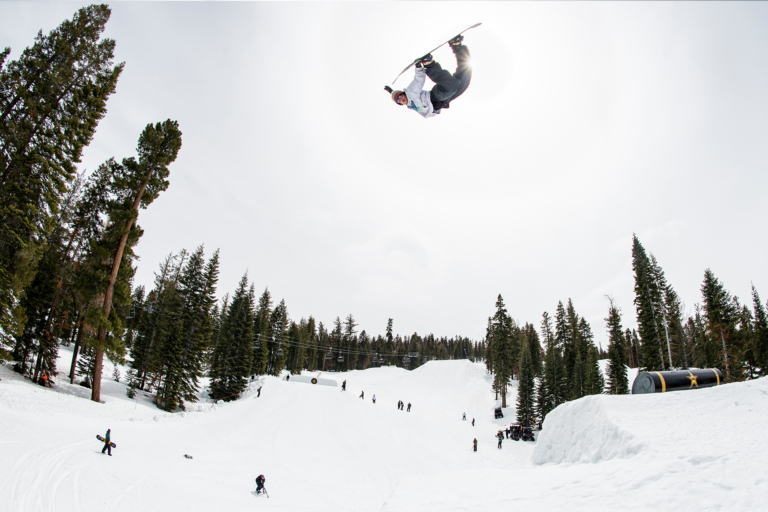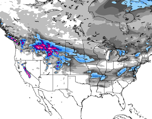
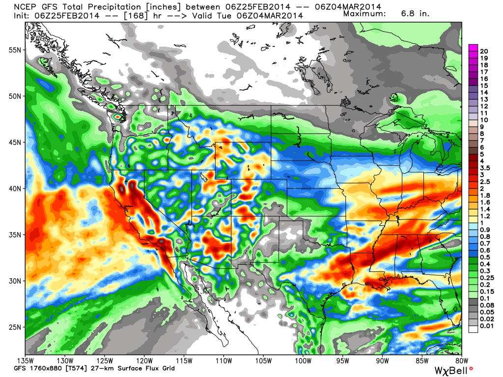
As our friends over at Opensnow.com have so kindly confirmed, February is coming to a pretty stellar close for those lucky enough to live in the Northern Rockies or the Tahoe region, as storms are piling on the powder from now through early next week. Resorts in Cali are topping the powder charts this week, as Mammoth Mountain is projected to receive up to 33 inches by Saturday, and Squaw, Sierra at Tahoe and Alpine Meadows all get set for a nice 29 inch addition to their slopes.
Montana, Wyoming and Idaho are expecting yet another round of solid snowfall as well, with upwards of two feet falling at Jackson Hole and Teton Pass by Saturday, while Big Sky and Bridger Bowl are also in prime position for 16 inches or more by the weekend.
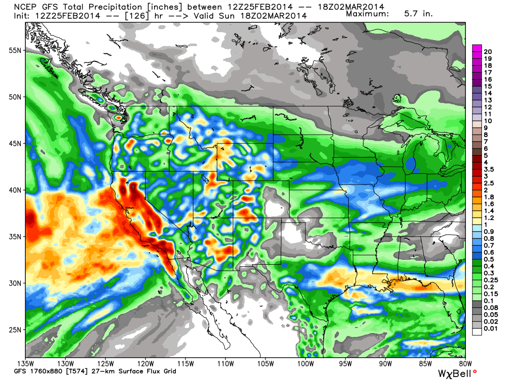
Read on for detailed forecasts across the country:
The Pacific Northwest
This week is looking pretty mellow up in Oregon, where the majority of resorts aren’t expected to receive any significant snowfall until about Saturday. Mt. Hood Meadows and Timberline are bucking the trend, however, with snow predicted to fall throughout the week, though totals from each day — with the exception of Thursday, which could bring up to 5 inches to Hood and 6 to Timberline — remaining low. Come Saturday, however, the inches should stack up, as Mt. Bachelor is projected to receive anywhere up to foot from Saturday through Sunday, while Mt. Hood Skibowl may see up to 10 inches over the same time period.
Up in Washington, resorts across the state can expect to see pretty consistent snowfall throughout the week. Crystal Mountain is projected to receive some snow throughout the middle of this week, earning about 8 inches from Wednesday through Saturday, while Stevens Pass is predicted to see 11 inches over the same time period. Starting Thursday and wrapping up Saturday, Mission Ridge is looking at 13 inches.
The Northern Rockies
The incredible winter continues for the Northern Rockies, as Idaho, Western Montana, and Wyoming will see significant totals this week and on through Tuesday morning.
Montana is about to get hammered with a week of fresh snow, kicking off across the state on Thursday and continuing strong through the weekend. Teton Pass is looking at 13 inches by Saturday, while Bridger Bowl and Big Sky are both looking a nice dose of 14 inches by the weekend as well. Montana Snowbowl is looking at an impressive 21 inches by Saturday, with another 2 inches added on Sunday.
Wyoming is sitting in a similar boat to Montana, as Thursday brings in a hefty and extensive run of storms. Grand Targhee can expect 21 inches by Saturday, Teton Pass hoping for 22. Jackson Hole is looking at 18-41 inches by Sunday, 18 being conservative, 41 being highly optimistic. Overall, it is shaping up to be a killer week of powder across the region.
Over the next 5 days, Lookout Pass in Idaho is predicted to receive 12 inches of snow, while Silver Mountain is hoping for 11 and Kelly Canyon, Pomerelle and Bogus Basin could see just about 10 inches.
The Northeast
Thus far, it is shaping up to be a quiet week around New England. High elevation resorts up north may see a dusting, while the general forecast calls only for a weak system to move through midweek, though it is unlikely to leave anything substantial. The cold air is swooping in again, with the mercury sitting pretty low for the next two weeks or so.
Need more? Check out The New England Daily Snow with Brian Clark
Colorado
A quick burst of snowfall is expected Tuesday night to the north of I-70, before a second storm swings through the region Thursday afternoon and night, dropping about 6 inches on the Central and Southern mountains.. A final system will move in on Friday night, with the San Juans and areas like Crested Butte, Irwin and Monarch likely receiving upwards of a foot of snow. Total accumulation from the Thursday and weekend storms will be significant across the state, with the Central and Southern resorts expected to rack up the most inches. As far as powder days are concerned, Colorado Daily Snow’s Joel Gratz predicts that the Northern mountains will be in prime shape come Monday morning, though after a weekend of solid snowfall, the Southern and Central mountains should have killer riding Friday, Saturday and Sunday.
Utah
Though Wednesday and Thursday are set to remain pretty dry, the snow will be making its way to Utah at the end of this week and into the weekend. The first storm is projected to land on Thursday morning, bringing heavy snow to the entire region, with 4-8 inches expected above 7,000 feet by Friday morning. Another, much stronger system will move through Utah on Friday, bringing snow to the mountains and rain to the valleys. If the weather lives up to projections, Utah could see anywhere from 1-3 feet of fresh snow by Monday.
The Sierras
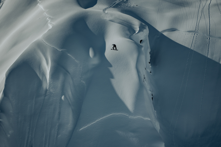
It looks like powder days are in store for Tahoe! Clouds will begin to move into the area on Wednesday, with snow falling all the way down to lake level overnight. The storm is projected to drop 3-6 inches at lake level, 6-9 inches on the East side of the lake above 7000 ft, 9-12 inches on the West side, and 12-15 inches along the crest West of the lake before it wraps up Thursday night. Another storm will quickly takes its place, kicking off Friday morning and continuing on through the night. Mammoth Mountain is looking at 32 inches over the next 4 days, while Sierra At Tahoe, Alpine Meadows, Sugar Bowl and Squaw are all looking at 29 new inches by the end of the weekend. Thursday, Friday afternoon and Saturday are looking to be top-notch powder days, so grab your board and take full advantage.
Click here for more Tahoe Daily Snow
The Midwest
Midwest meteorologist Andrew Murray sums up this week’s forecast in one word: COLD. A few snow flurries are predicted for southern Minnesota and central Wisconsin Wednesday night, though they will amount to almost nothing. Very strong winds over the weekend apparently broke up the ice on Lake Superior, and the resulting lake effect will be enough to bring just about 1-3 inches of snow to the northwest snowbelts. Temps are not expected to rise above 0 degrees, with Wednesday afternoon through Friday morning being exceptionally cold.
Alaska
As meteorologist Sarah Cannard reports, week of warm weather is in the forecast for both Juneau and Eaglecrest, as the sun keeps shining and the goggle tans begin their inevitable return. Sun’s out, guns out— spring skiing is where it’s at this week.