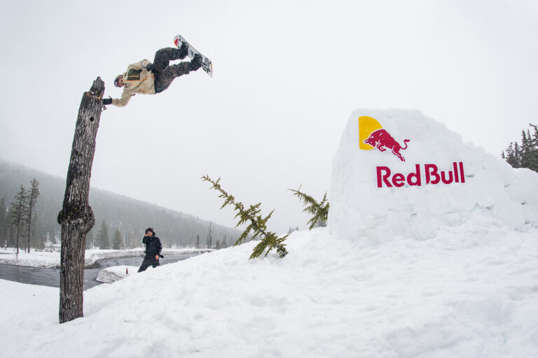
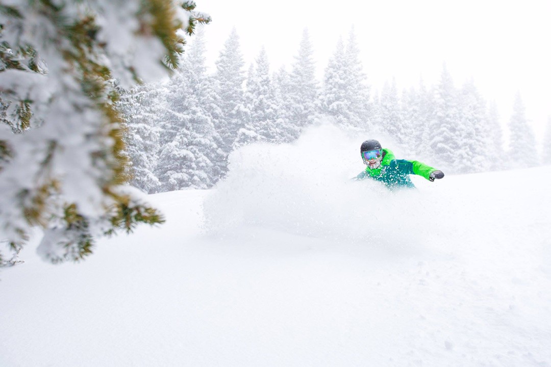
The western portion of North America has been enjoying ample pow days these past few weeks (see below), setting up an impressive early season base. The eastern portion has not faired as well. Keep snow dancing; sacrifice old boards; do whatever you have to. East Coasters, winter will arrive, eventually.
Oregon and Washington
Get ready for face shots in the Pacific Northwest, people. A serious storm is headed for Oregon. Snow will begin to fall during the day on Wednesday and continue all the way through the end of the weekend. By the beginning of next week, Mount Hood Meadows is forecasted to receive 37 to 66 (!) inches of the white stuff, while Mt. Bachelor is looking at between 28 and 52 inches of snow. While last season was a disappointment for the Beaver State, that snowpack (snow water equivalent of normal as a percentage) is quickly rising towards average levels, but there’s still much work to be done.
Washington is also sitting pretty for this upcoming storm. Mt. Baker (big surprise) is expected to be the big winner over the next week, with 33 to 57 inches of new snow forecasted to fall through Sunday. Stevens Pass is looking at 21 to 50 inches and Crystal Mountain is predicted to receive 23 to 46 inches.
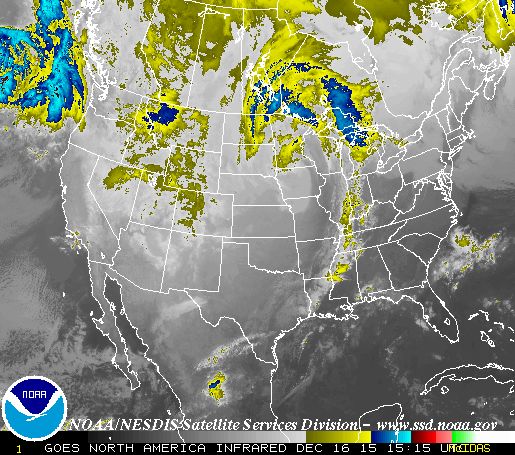
Infrared satellite images show the storm about to impact the PNW. Image courtesy NOAA
British Columbia and Alberta
Western Canada has been going off recently. The trend will continue this week, mostly in British Columbia. Toward the coast, at Whistler Blackcomb, snow will begin falling on Thursday, and through Sunday the resort can expect 30 to 55 inches of new snow. Further inland at resorts like Revelstoke, Red Mountain, Fernie and Kicking Horse, the totals will be more in the 5 to 15-inch range.
In the Banff region of Alberta, a refresh is also expected. Sunshine Village, Lake Louise and Mt. Norquay are looking at anywhere from 1 to 9 inches from Thursday through Sunday.
California
What a turnaround from last season for resorts in the Sierra Nevada. Currently, the Lake Tahoe snow water equivalent of normal is at 117 percent. Outstanding. This week, a storm will hit the state on Friday night through Saturday morning, with another dump expected Sunday night. Squaw Valley Alpine Meadows is forecasted to receive 10 to 15 inches through Sunday, with similar snow totals expected for other resorts in the region. Down at Mammoth Mountain, riders can expect 3 to 6 inches in that timeframe.
Colorado, Utah and New Mexico
A storm is moving into Colorado on Wednesday, lasting through Thursday night, with another squall forecasted to hit on Sunday morning. The big winner looks to be Steamboat, as it’s forecasted to receive 10 to 26 inches by Sunday afternoon. The rest of the state, excluding the southern mountains, will be more in the 4 to 15-inch range by Sunday.
 Aspen Snowmass is piling up the goods in Colorado. Photo: Catherine Aeppel
Utah, which has had quite a start to the week, will fair similarly to its eastern counterpart. On Wednesday night, 5 to 9 inches is expected at Snowbird, Brighton and the Park City resorts. More snow will hit the Beaver State on Sunday, with 1 to 3 inches expected for most areas.
Unfortunately for New Mexico, the state is forecasted to remain dry this week.
Idaho, Montana and Wyoming
Get ready, Idaho, this week is going to be deep. Snow is expected throughout the next five days, beginning on Wednesday. Schweitzer and Bogus Basin are both looking at expected snow totals in the 11 to 26-inch range, while Sun Valley is forecasted for 7 to 18 inches.
Moderate snowfall is predicted for Wyoming, beginning on Wednesday. Jackson Hole and Grand Targhee can both expect 10 to 25 inches by Sunday.
Farther north, in Montana, Big Sky and Bridger Bowl are looking at 6 to 19 inches of fresh through Sunday.
New England
The conditions in Vermont, New Hampshire and Maine can only improve, however only Jay Peak (2 to 4 inches on Saturday) can expect anything of significance this week. Here’s to hoping that snowmaking temperatures remain in a good place at night.
Brace yourselves.