After a lot of the country received a refresh in snowfall, along with a better-than-expected turnout from a storm in Utah that dropped close to two feet of fresh, we’ll be in a holding pattern for the most part this week. The biggest outlier, however, is North America’s perennial powder king, Mt. Baker. Several other areas have shots at some snowfall, too. See below for the full powder breakdown.
The Pacific Northwest
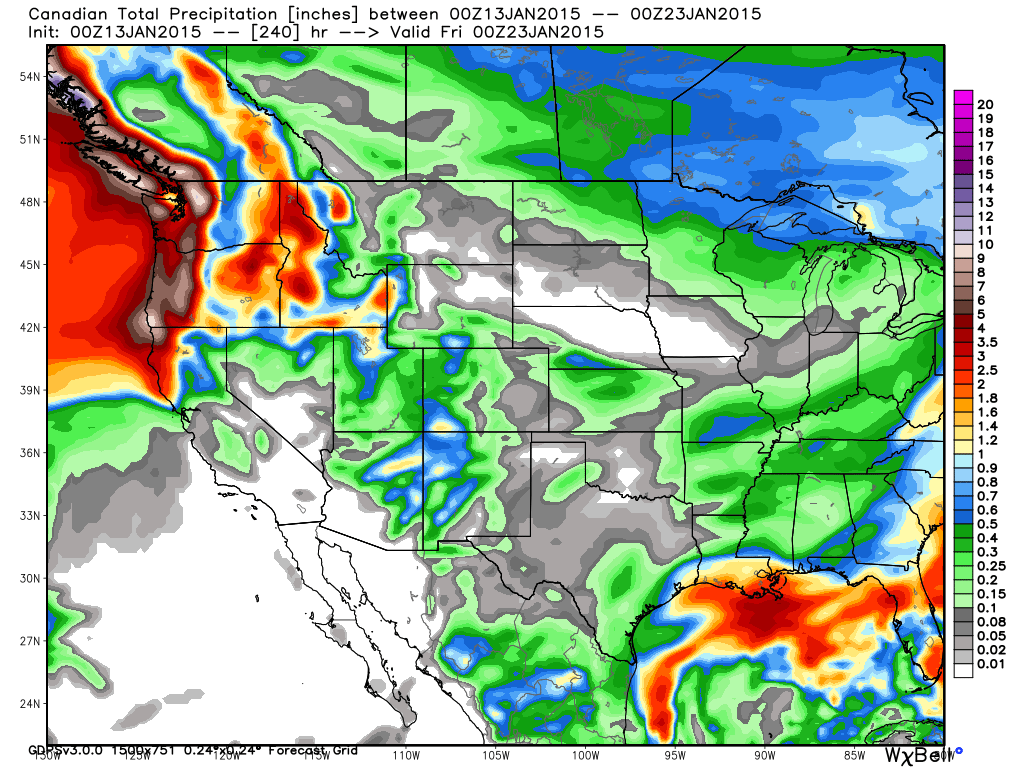
A strong storm will collide with Washington towards the tail end of this week. Mt. Baker looks to benefit the most, with projections of 18 to 30 inches from Thursday through Friday. Elsewhere in the state, Alpental is slated for 10 to 18 inches and Stevens Pass could see six to 14 inches in that timeframe. Hopefully this pans out and delivers some much needed moisture to Washington.
To the south, in Oregon, the Mount Hood area could see a bit of accumulation (one to two inches) on Friday.
The Northern Rockies
The storm hitting Washington should also impact states in the northern Rockies. In Idaho, snow will enter the state on Thursday night, with areas like Schweitzer and Silver Mountain expected six to 12 inches of snow by Friday afternoon.
In Montana, northern resorts like Whitefish can expect three to seven inches of fluffy pow by Friday afternoon.
Wyoming resorts will see snowfall on Friday, with Grand Targhee and Jackson Hole looking at anywhere from two to five inches by Saturday.
The Northeast
After a nice storm early in the week provided some pow turns, resorts on the East Coast will have another chance at some more snow later in the week. In Vermont, Jay Peak is looking at two to four inches of new snow on Thursday night into Friday, as well as an additional one to two on Saturday.
As for the rest of the region, trace amounts of snow should fall over the weekend, but nothing much in terms of accumulation.
Colorado
After much of the state saw snowfall on Tuesday, the next shot at a refresh will come over the weekend and into next week. Joel Gratz is cautiously optimistic about snow totals, but we’ll have to wait and see to find out.
Utah
Early this week, resorts in the Park City and Salt Lake City area enjoyed some surprisingly deep turns, thanks to higher-than-projected snowfall totals. Many areas picked up over a foot-and-a-half of new snow. The rest of the week looks to be dry for Utah.
Sierra Nevada
Unfortunately, models didn’t line up and California will remain dry for the coming week. Continue those snow dances, and the white stuff is sure to start flying.