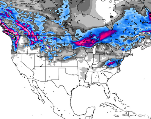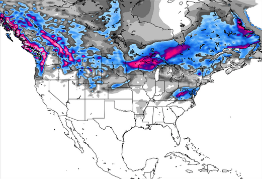
After a solid start to the week, with inches stacking up from East to West, the storms continue for New England, Oregon and Washington. Mt. Baker is looking at a hefty 22 inches by Friday, with resorts across the state also expecting significant totals before the weekend hits. Per usual, the Northern Rockies should see new snow fall over the next week, with Montana and Idaho racking up anywhere from 8-13 inches by the time Saturday rolls around.
Systems continue to move through the Midwest as well, with new snow expected Thursday night into Friday, while the days ahead are looking relatively dry for western states like Utah and Colorado. Read on for a full run down of what’s happening in your region, with info courtesy of the big brains at Open Snow.
The Pacific Northwest
Washington and Oregon will be top places to ride this week, as the region gets hit with a series of storms. Wednesday will see a solid dose of snow, setting up Thursday to be a premium powder day. Mt. Hood Meadows, Timberline and Stout Springs should see just about 2 inches over Wednesday night, with total accumulations for the week projected to range from 12-24 inches, depending.
Washington has a spectacular week in store, as inches add up across the state. Mt. Baker could earn up to 22 inches by Friday; Stevens Pass 17 inches; Summit at Snoqualmie (Alpental) 18 inches; Hurricane Ridge 10 inches. The weekend is shaping up to be partly sunny; perfect weather to get out and take advantage of all the new snow stacked up across the region.
Colorado
For the mountains of Colorado, Wednesday through Friday are expected to be dry, with light snow rolling through Friday night through Saturday night. Another dry spell will take over Sunday through Tuesday, with stormier weather likely returning on Thursday, March 27th.
The Sierras
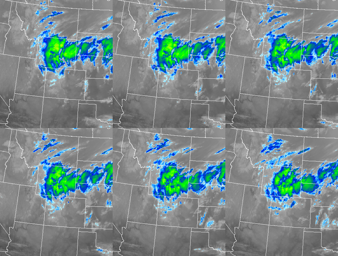
Up around Tahoe, the temperature will sit in the 40s and 50s as dry conditions persist. Looking forward, the middle of next week holds some promise for colder air and a dose of snow to the region.
For the full forecast, check in with Bryan Allegretto
Utah
A storm early this week brought totals of 5-11″ throughout the Wasatch range, and while the storm has passed, Utah is now enjoying 7-8 inches of new snow in the Ogden Valley surrounding mountains, 5-8 inches along the Park City Ridgeline, and 8-12 inches in the Cottonwoods. Looking ahead, the region is expected to dry out a bit and warm up Wednesday and on through the weekend. Despite the possibility of a few showers to the mountains of far northern Utah Thursday and Saturday, the week to come is shaping up to be pretty quiet across the state.
The Midwest
After getting hit with a solid storm on Tuesday, the Midwest can look forward to a return to winter this week, as a new train of winter storm systems make their way across the region. The heaviest snowfall cut through Minnesota, dropping about a foot of snow to most ski areas in the region, including the North Shore. Further east into Wisconsin, accumulations stayed within a 4-8 inch range, while the UP of Michigan ended up with just about 3 inches. After a quick break on Wednesday the 19th, another round is projected to move in Thursday night and into Friday.
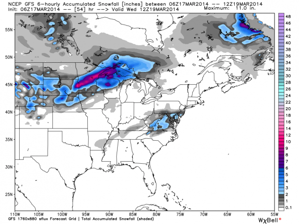
Click here for more details from Andrew Murray
The Northeast
New Hampshire can look forward to some fresh snow, as Waterville Valley, Cannon Valley and Loon are projected to see a foot by Saturday, while Jay Peak and Burke Mountain in Vermont could see 8 inches and 7 inches, respectively.
The Northern Rockies
Unsurprisingly, there is a hefty amount of snow in store for Montana this week. Wednesday, Thursday and Friday are expected to bring a whole lot of fresh snow, with 9 inches headed for Showdown Mountain, 10 inches for Whitefish Mountain, 11 inches for Teton Pass, and a solid 13 inches projected to hit Montana Snowbowl.
Over in Wyoming, things are looking much quieter, with Thursday night dropping just about an inch on Jackson Hole, Meadowlark Ski Lodge and Sleeping Giant, with Meadowlark seeing another 2 inches Friday through Saturday.
Lookout Pass, Idaho, is predicted to receive 9 inches Tuesday through Friday, while Schweitzer can expect 8 inches and Silver Mountain will see just about 9.
Alaska
Here’s the full run down from Eaglecrest’s own weather guru, Sarah Cannard: “The snow showers aren’t over just yet – up to 3 inches are expected on the slopes of Eaglecrest Wednesday. By Thursday, the storm will likely have cleared out, bringing visibility back to the upper mountain where the base now sits at 180 inches. Partly cloudy skies will last throughout the week, with a small chance of snow on Friday.”
