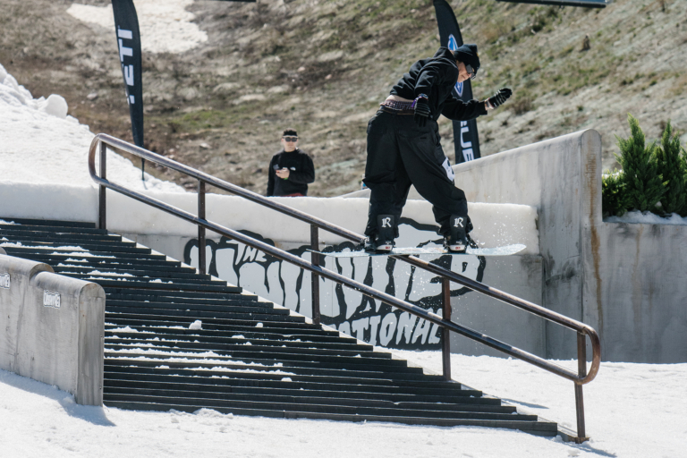
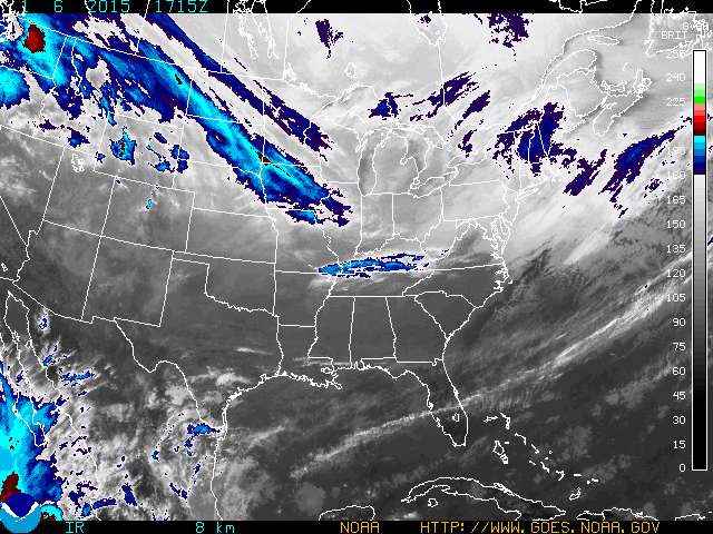
The majority of the United States will remain dry in the coming week, making it prime time to work on that goggle tan and the park tricks you’ve been putting off due to the copious amounts of snow we’ve been getting. There are a few chances for fresh pow this week, however, in the northern Rockies, on the East Coast and in the Midwest. Take a look below for the details, with help from our friends at OpenSnow.
The Northeast
Riders in New York will wake up to a solid powder day on Wednesday, with snow continuing in spurts over the course of the week. From Wednesday to Saturday Snow Ridge is expecting seven to 16 inches, Peek’n Peak and McCauley Mountain are also looking at six to 14 inches.
In Vermont, snow will begin Tuesday night and cold temperatures will allow for snow through Thursday night. In that time, Jay Peak can expect three to nine inches of snow, Smugglers’ Notch is looking at three to eight and Stowe can expect two to seven.
New Hampshire can expect to see short bursts of snow on Wednesday and Thursday night, which should yield anywhere from one to three inches with each shot of weather.
Maine won’t see quite the precipitation that the rest of the region will, as most areas can expect one to two inches on Thursday night.
The Northern Rockies
After some solid snowfall on Tuesday night, Montana will have to wait until the weekend for a refresh. The big winner looks to be Showdown Montana, who are looking at six to 11 inches by Sunday morning.
Wyoming will see a bit less of the white stuff, with Jackson Hole and the Teton Pass area expecting two to four inches Saturday night.
The Midwest
The heart of the country will look to get in on some new snowfall this week. Cold temperatures will move in, and a few systems should produce some snowfall for most areas.
In Michigan, the heaviest snow will fall beginning Thursday morning. By Saturday morning, Crystal Mountain is looking at four to 10 inches, Boyne Mountain will see three to eight inches and Blackjack could see two to seven.
Most of Wisconsin and Minnesota can expect a couple of inches of snow on Wednesday into Thursday.
Colorado
According to Joel Gratz, Colorado will remain dry for the rest of this week, with a chance at some weak storms next week. He does expect the weather pattern to change and allow for more chances at snow beginning the 18th of January.
Utah
Utah will also remain in a high pressure pattern, with some chances at new snow next week.
The Sierra Nevada
OpenSnow’s Evan Thayer expects the region to stay in a mild and dry period for the next ten days, with a hope for chances at snow over the Martin Luther King Day weekend.
Pacific Northwest
Unfortunately, the uncharacteristically dry winter will continue for a bit in the Pacific Northwest. OpenSnow’s Larry Schick thinks that elevations above 4000 feet could see minor snowfall this weekend, but that the January forecast is overall a bit grim. Up those snow dances, friends!