
Recent weather has proved to be unseasonably warm in western North America. However, the early season snow has left a solid snowpack and the riding is still great. While the high-pressure ridge will stick around this week, there are still some chances for new snow across the map. See a summary of this week’s snowfall report below.
Please note: All snow total predictions are sourced from OpenSnow.com and reflect the 5 day snow total predictions for this week.
Idaho, Montana and Wyoming
Northern Idaho should see new snowfall towards the end of the week, with Schweitzer forecasted to receive 2 to 4 inches during the day Saturday and 1 to 3 inches on Sunday night.
Whitefish, in northern Montana, is looking at 1 to 2 inches on Saturday, while the rest of the state is forecasted to receive that snow on Sunday evening.
Grand Targhee has a favorable Saturday forecast compared to the rest of Wyoming, with 2 to 5 inches forecasted. Another 1 to 2 is predicted to fall on Sunday for Targhee and the rest of the state.
Colorado, New Mexico and Utah
A weak storm is forecasted to move into Colorado on Saturday evening and should drop 1 to 3 inches on the northern riding areas (Winter Park, Breckenridge, Loveland, Copper, Arapahoe Basin, Keystone, etc.). Then, OpenSnow’s Joel Gratz is predicted more active weather (read: snow!) throughout next week.
Utah and New Mexico will be dry this week.
Oregon and Washington
High-pressure is sitting over the Pacific Northwest at the moment, causing sunny, blue skies. A weak system is forecasted to move in on Friday night, but with high snow levels of 6,500 feet. There will be chances for snow over the weekend, with snow levels at about 4,000 feet. Mount Bachelor and Mount Hood Meadows could see 4 to 8 inches, while in Washington, Mt. Baker could see 5 to 11 inches at high elevations.
California
It’ll be warm in California, with forecasted highs in the 50s for the Tahoe area. Luckily, the strong start to the season has the snowpack at about 98 percent of average, and the high-pressure trend should be bucked as we move into March.
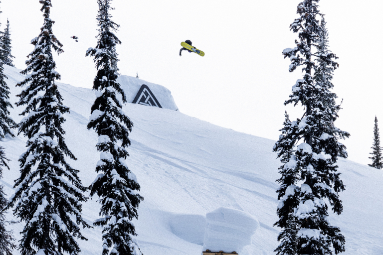
British Columbia and Alberta
Snow levels will also be high in British Columbia, with soggy conditions down low and snow up high. Whistler Blackcomb is forecasted to have a fresh 6 to 14 inches of snow from Friday evening through Sunday. Farther inland, at resorts like Red Mountain and Revelstoke, it’ll be more in the 2 to 5-inch range.
Alberta will be mostly dry this week, with a chance of a dusting over the weekend.
New England
While OpenSnow is forecasting some snow accumulation for Vermont, New Hampshire and Maine, its New England Daily Snow is indicating that the majority of areas, regardless of elevation, will see that precipitation in the form of rain. Keep snow dancing, East Coasters, and good luck out there.