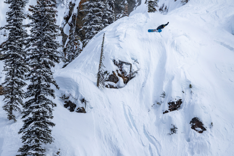
It's been a long tough snow season here in the Western U.S. for us shredders. The promise of another La Niña season from well known meteorologists to self-proclaimed snow gods were plentiful. People couldn't stop talking about how this season would be another epic season for snow. It wasn't like like they got it wrong; plenty of snow has been hitting the PNW and British Columbia to make all of us jealous. Not to mention the copious amounts of freshies dropping in on Europe and Japan. But have faith people, it seems as if the storm track is changing.
If you haven't been following any weather blogs like we do here, don't worry, we will give you a little crash course in what's been happening. In layman's terms the storm track or jet stream has been flowing north of the Rockies bringing all the moisture to the PNW and British Columbia areas. Hence all those banger instagram shots you see from those places (damn them!). But as of January 16 we will see a shift in this storm track as it will start to come south and bring that moisture to the Rockies.
One blog we follow religiously (as you should too) is opensnow.com. You can see from their image above the past storm track and the new predicted storm track. Joel Gratz over at opensnow.com explaines. "Oregon, Washington, Idaho, Montana, and northern Wyoming should see a lot of snow next week.
"It is possible that some of this heavy snow could hit Tahoe, northern Utah, and the northern half of Colorado. However, there’s no guarantee for these areas as it will come down to the DETAILS of each individual storm to decide if the snow makes it far enough south." See the full forecast from Joel here.
This is great news if you have been itching for some powder.
As we look forward into next week, as January 16 is this coming Monday, we begin to see some long range forecasts coming out. Tahoeweatherdiscussion.com, another blog we follow keeps it straightforward and does a solid job of describing the always complicated long-range forecasts.
As you can see above in the Canadian forecast model there is a large fetch across the Pacific Ocean that will crash into Tahoe and the Rockies towards the beginning of next week. Check out tahoeweatherdiscussion.com to scope all the forecasts models and a more in-depth look at what will happen next week.
So fear not, the weather patterns are shifting and the promise of waist deep powder will happen. The only thing to do now is to sit, pray for snow and hope to god things start to change. Because there's really nothing we can do about it.


