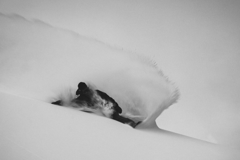
After what has been a snowy first half of the season for western North America, a high-pressure system has parked itself over the West. This translates to higher temperatures and blue skies for the next week. However, there’s still chances for some solid snowfall for select regions of the continent. Get out there and enjoy the bluebird.
Please note: All snow total predictions are sourced from OpenSnow.com and reflect the 5 day snow total predictions for this week.
Oregon and Washington
It’ll be dry for Oregon until Friday when a weak storm will hit the state. According to OpenSnow’s Larry Schick, snow levels will be between 5,000 and 7,000 feet (for the PNW in general). From Friday through Sunday, Mount Hood Meadows is forecasted to receive a couple of inches per day, resulting in 8 to 16 inches of accumulation. Mount Bachelor will be in the 4 to 11-inch range.
Washington will get in on the snow parade on Friday evening. Most areas will enjoy modest snowfall totals, but Mt. Baker is expecting 14 to 32 inches of snow through Sunday evening. Snow is forecasted to continue next week, too.
British Columbia and Alberta
British Columbia is in store for a bit of snow this week, although, as stated above, snow levels will be in the 5,000 to 7,000-foot range. Beginning Wednesday night snow will fall on Whistler Blackcomb, with predicted totals of 17 to 34 inches through Sunday evening.
This week will be mostly dry for Alberta with the exception of Marmot Basin, which is expecting 2 to 4 inches on Friday night through Saturday morning.
California
The high-pressure ridge will have the most impact on California, where temperatures will skyrocket and sunshine will abound. This pattern should continue for at least the next ten days, but it may move out at the end of the month. For now, enjoy bluebird groomers and park laps, as well as some backcountry corn riding.
 The high-pressure ridge parked over the western United States. Image courtesy of OpenSnow
Idaho, Montana and Wyoming
The high-pressure ridge will also affect the Rocky Mountains. However, there will still be some shots for snow over the weekend. Lookout Pass and Schweitzer, in Idaho, are looking at 4 to 8 inches from Friday night through Sunday evening.
Montana will get a slight refresh over the weekend with 2 to 4 inches expected at Whitefish and Montana Snowbowl.
Grand Targhee, in Wyoming, is looking at 4 to 9 inches of snow from Saturday through Sunday, with Jackson Hole expecting 2 to 4 inches on Sunday.
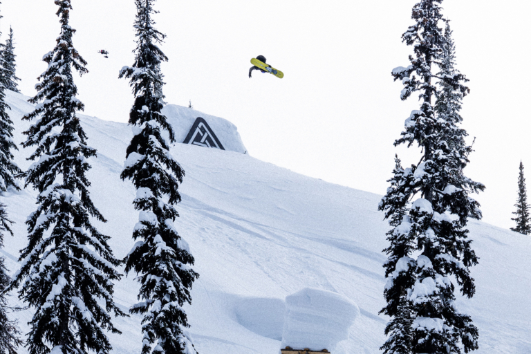
 Ten feet of snow fell last month at Snowbird. Jack Dawe can’t complain about that. Photo: Matt Crawley
Colorado, New Mexico and Utah
It’ll be fairly dry for Colorado in the near future, with more active weather returning towards the end of February. There’s a chance for a dusting on Saturday night and Sunday for most resorts.
Utah will see much of the same weather as Colorado while New Mexico will remain completely dry.
New England
Sugarloaf reported 10 inches of new snow this morning, bringing a much-needed pow day to Maine. The rest of the week will be fairly dry, with another 1 to 2 inches forecasted for most areas on Saturday.
Stowe, Jay Peak, Okemo and Bromley all reported a fresh 4 inches of snow this morning. As for the rest of the week, there will be chances for snowfall through the weekend, but not much accumulation is expected for Vermont. An active weather pattern is forecasted for next week, which should bring more snowfall to the region.
It’s a decent pow day for New Hampshire’s Mount Sunapee and Pats Peak who both reported 6 inches of new snow this morning. Moving forward, flurries will persist for much of the week, with 1 to 2 inches predicted for Bretton Woods and Black Mountain on Saturday.